Define the area
Share the last known location, search boundary, access points, and any likely routes.
Thermal Pet Finder Search
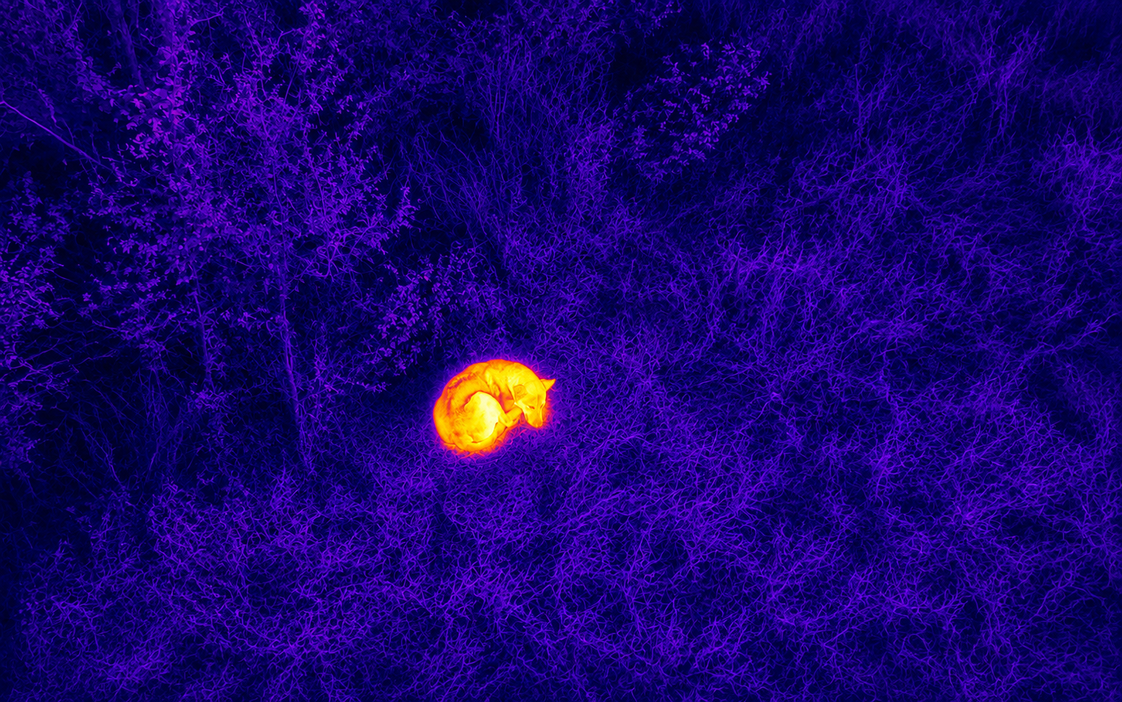
Thermal drone imaging can add heat-pattern information to an organized lost-pet search when conditions make it useful. Range-finding and search-light capability can support distance checks and visibility after dark, so operations are not limited to daylight when FAA, airspace, weather, and safety requirements are satisfied.
Share the last known location, search boundary, access points, and any likely routes.
Capture useful views of accessible open areas while respecting people, property, wildlife, and airspace limits.
Provide organized imagery and notes that can help keep family members and search volunteers aligned.
Pet Search Coverage
We use the last known location, likely movement, and accessible search areas to discuss a practical flight plan.
Aerial imagery may help inspect open ground, tree lines, and property edges that are difficult to scan from one position.
Clear files help organize what has been reviewed and where ground teams should focus next.
Start With SPARVERIUS
Tell us the last known location, the search area, and what kind of aerial support you need. For an active emergency or immediate danger, contact local authorities first.